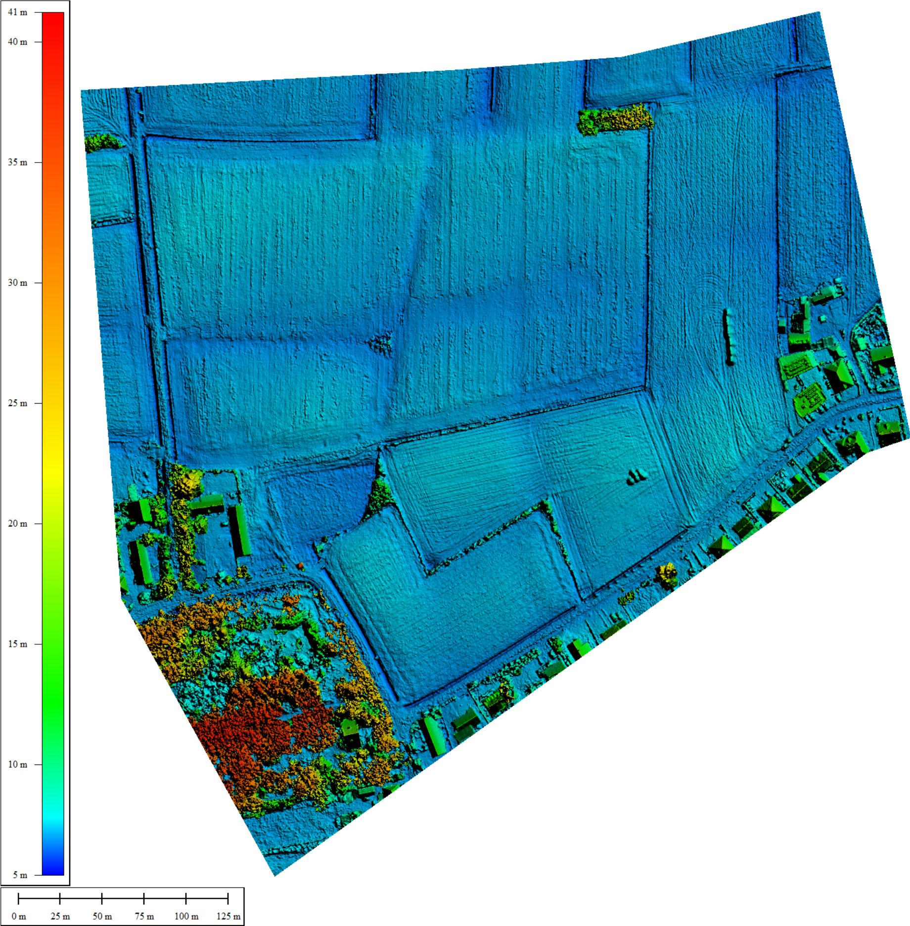
Digital Surface Model - 2.5D
A 2D raster where each point has the coordinates and the height of the as-is situation. Ideal to understand slopes and elevations of a terrain or roof.
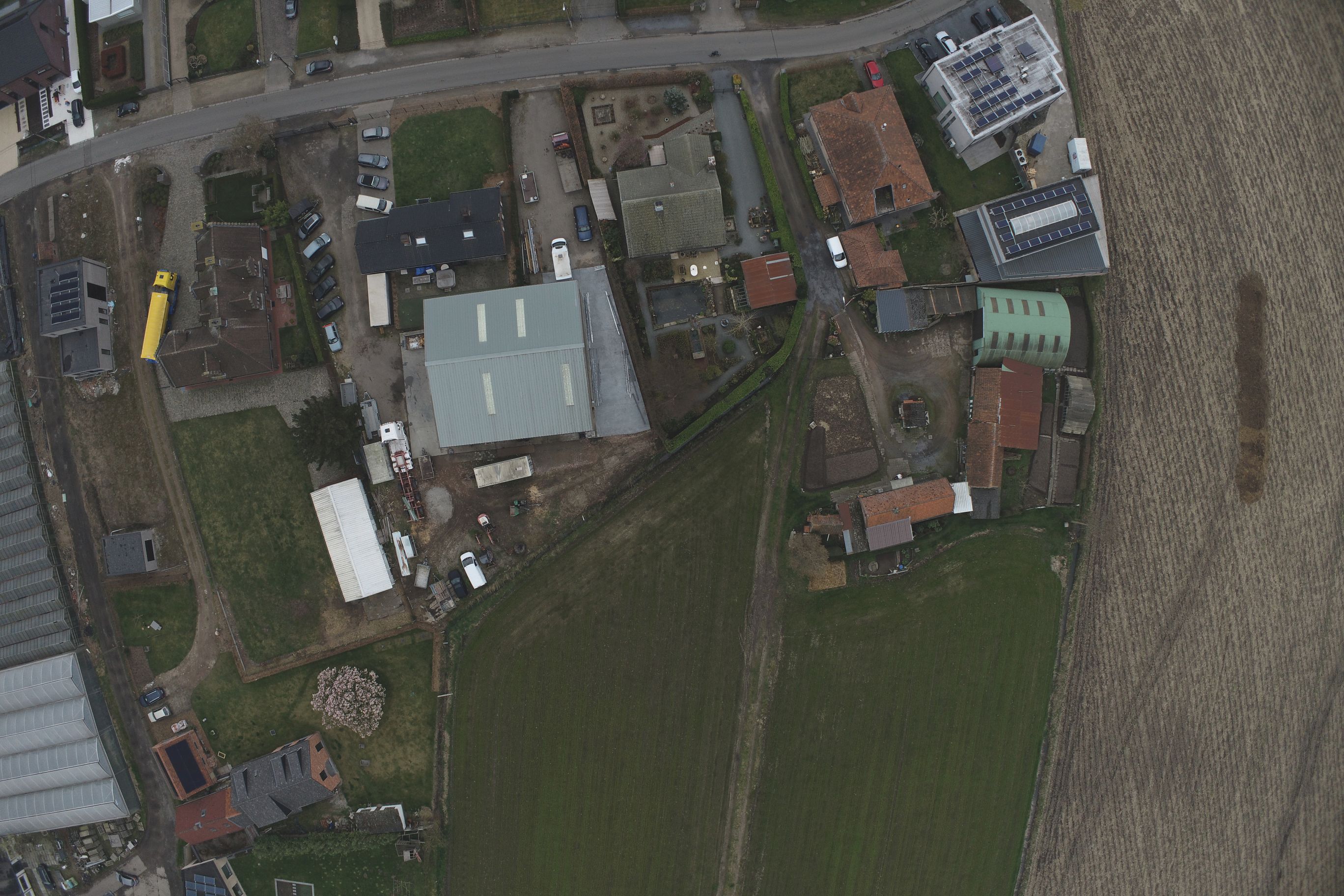
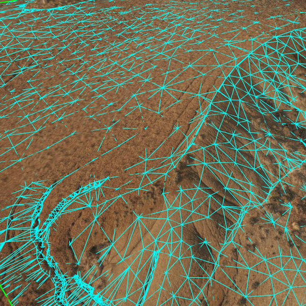
Unprocessed Pictures
The pictures with embedded coordinates by flying the drone
CAD Model Terrain - 3D
Model the as-is situation with a Digital Surface Model (DSM), a Digital Terrain Model (DTM), and line work of the most important objects. Includes cleaning of vegetation
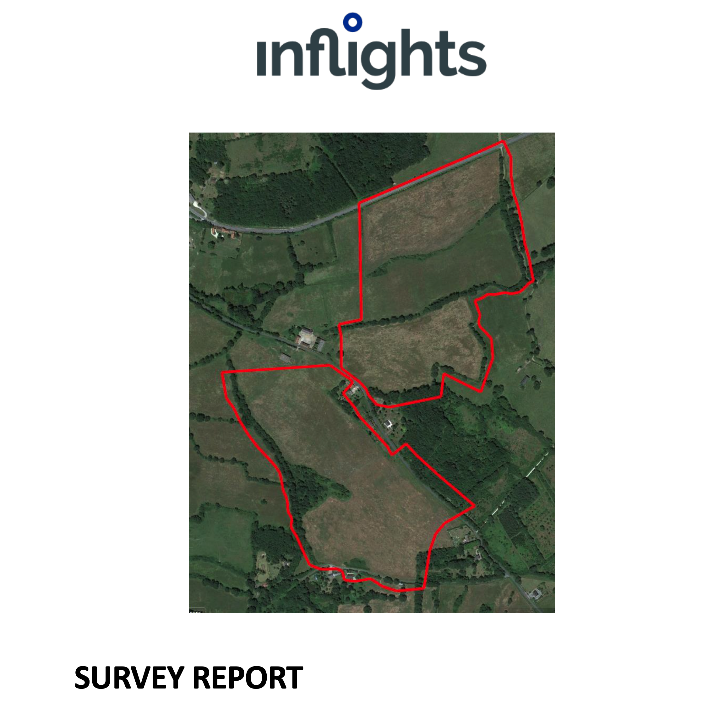
Survey Report
A detailed report of the work done to support the accuracy of the results
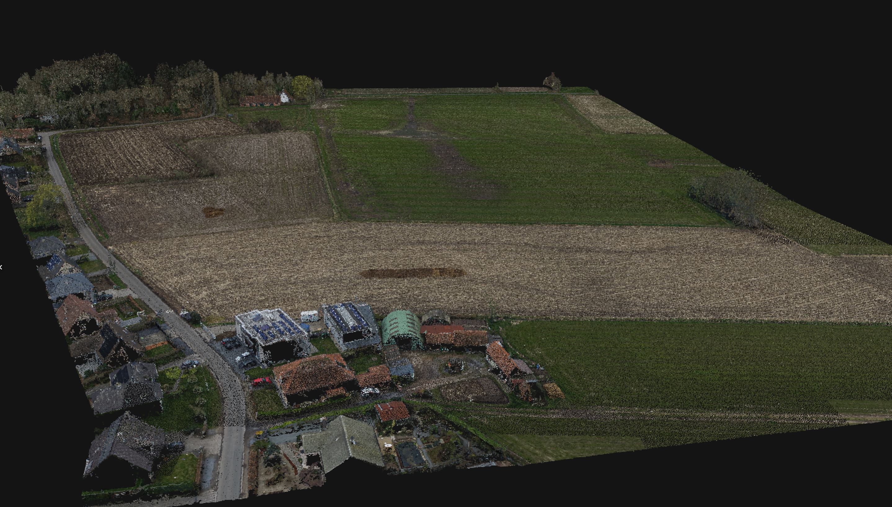
Point Cloud from Photogrammetry - 3D
The as-is situation modeled by a cloud of points, each with the original color and the XYZ coordinates of the object.
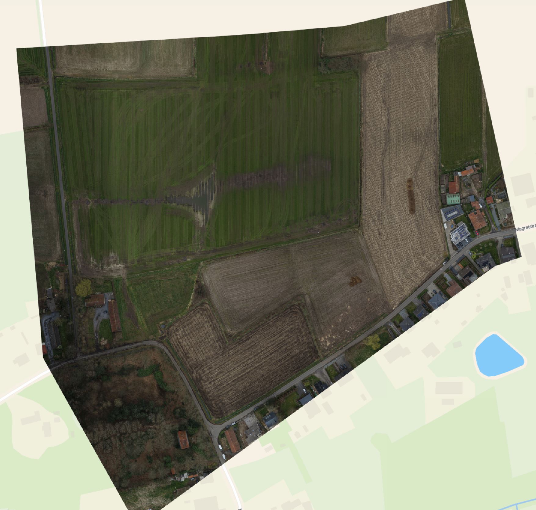
Orthomosaic - 2D
Picture of as-is situation by projecting it to the ground and viewing it from the sky. It is very similar to the satellite viewer of maps, but with a much higher resolution.
Surface data XML - 3D
Separate Land XML file representing the Digital Surface Model or the Digital Terrain Model. Ready to be imported in CAD software.
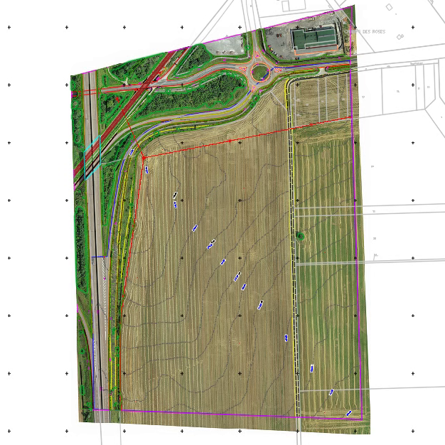
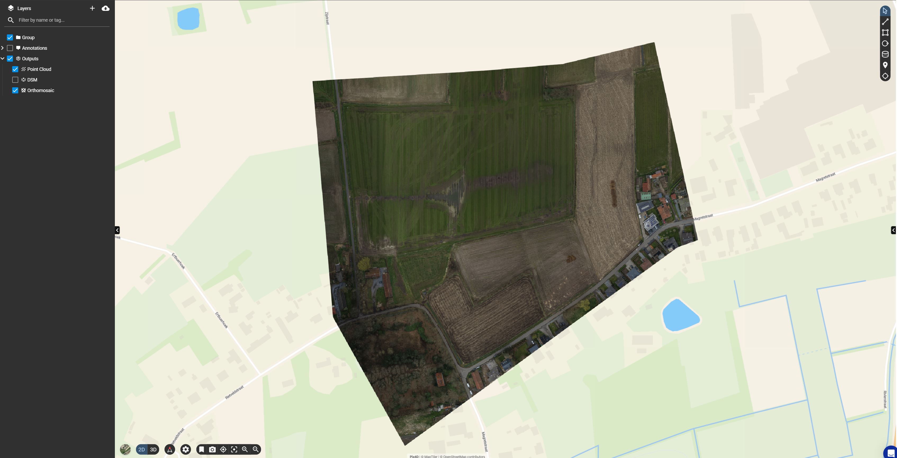
Web Viewer
An online web viewer that allows you to visualize all the data without the need for installed software
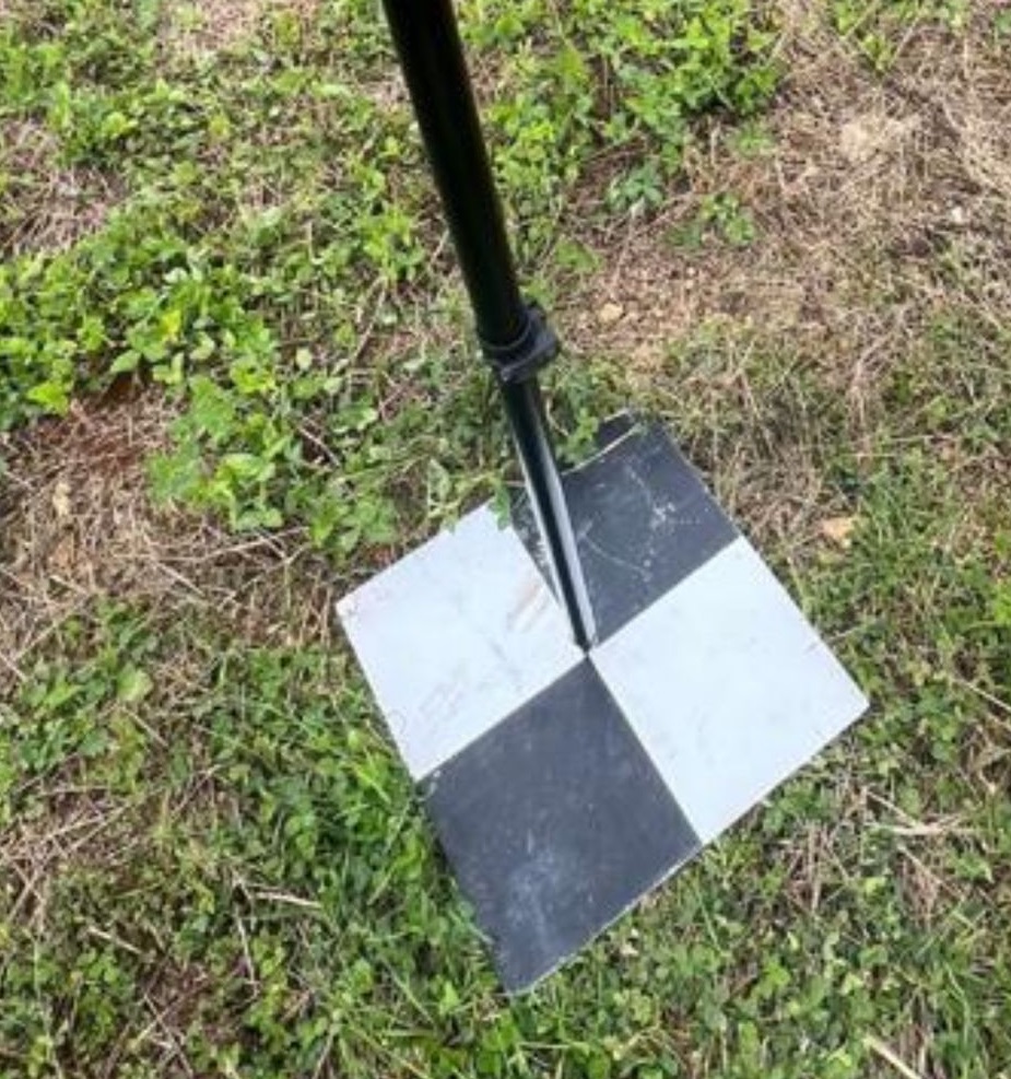
Ground Control Points - 3D
Ground Control Points measured with a GNSS RTK rover. It is used to improve the absolute accuracy of the data to make the coordinates compatible with other GIS information.
PDF version of the DWG drawing
Easy to open map of the as-is situation
Terrain Mapping with CAD
Increasingly more empty terrains are being converted into solar farms. Typically, terrains up to 100ha will need to be charted to prepare the drawings. Traditionally, a surveyor would manually measure an enormous set of points, and their work stopped there.
This of course is very time consuming, and results in steep surveying costs for larger terrains.
Process
At Inflights, we have the experience to map the terrain with drones in such a way as to generate a tailor-made product. We have worked with the engineering departments of solar panel installers to develop our Inflights standard of survey grade drone mappings.
We replicate this standard quality throughout all our drone flights across the globe and deliver the same end product no matter where in the world the terrain is located. Our survey team is 100% based in Brussels to safeguard this consistent quality.
Deliverables
Most design software is not geared towards using drone data yet. Large point clouds become almost impossible to use or view. In addition, sometimes vegetation or temporary objects need to be filtered out from the data to create an exact terrain model. We can transform this point cloud into a DTM and a DSM in a way that software can never do. We manually make sure that all important terrain features are represented as in reality.
Furthermore, we will vectorize your point cloud, and deliver you a CAD file specifically designed to meet your needs.