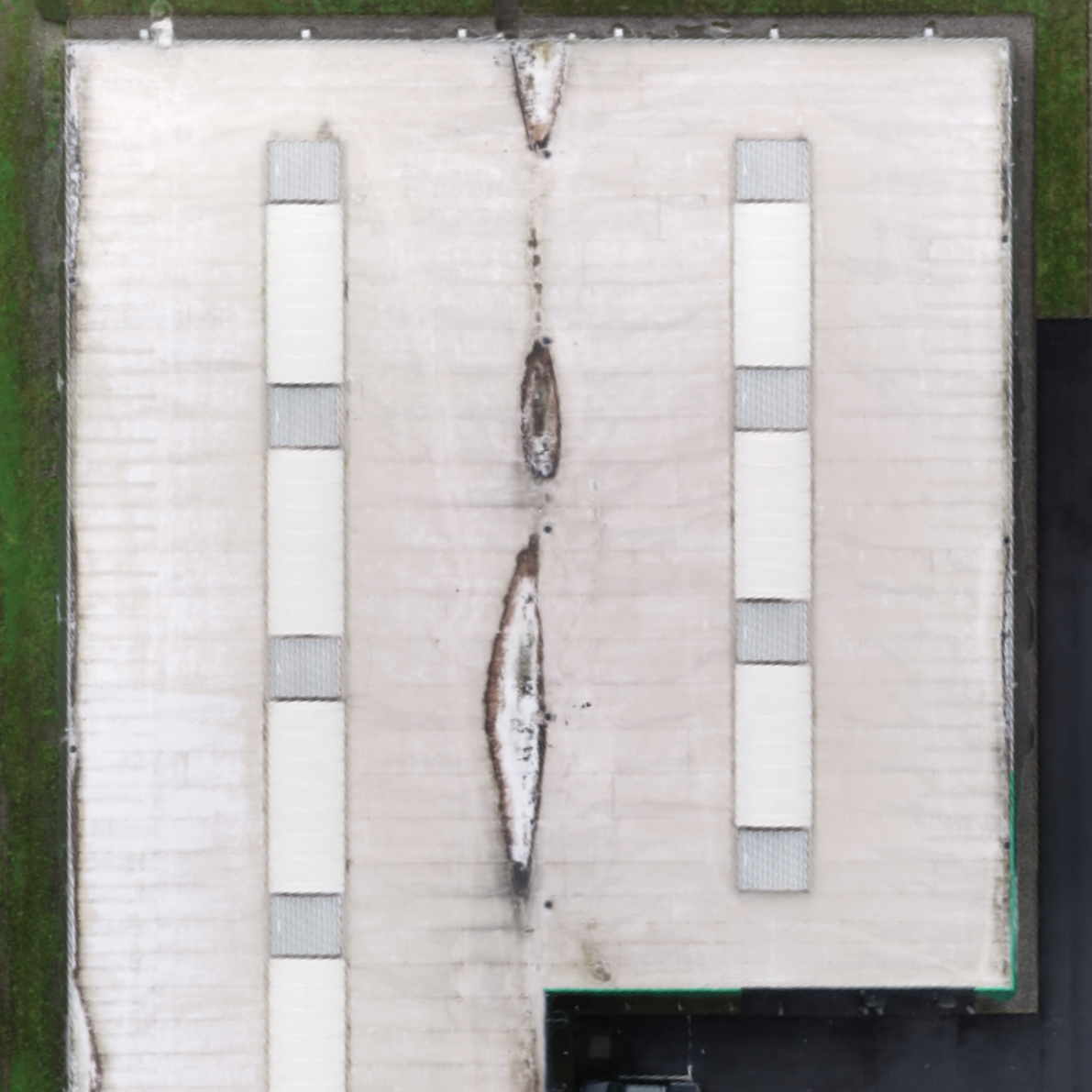
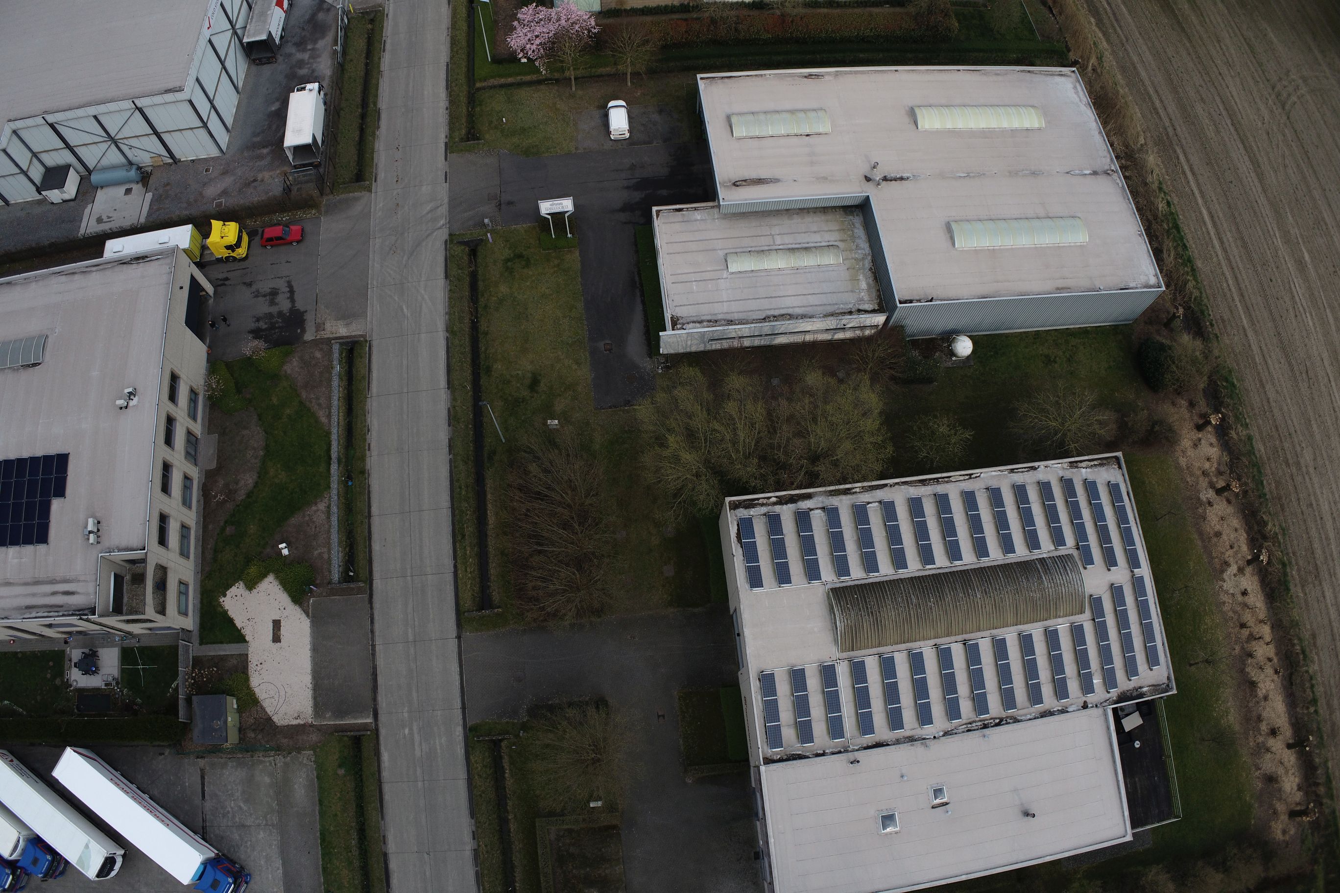
Orthomosaic - 2D
Picture of as-is situation by projecting it to the ground and viewing it from the sky. It is very similar to the satellite viewer of maps, but with a much higher resolution.
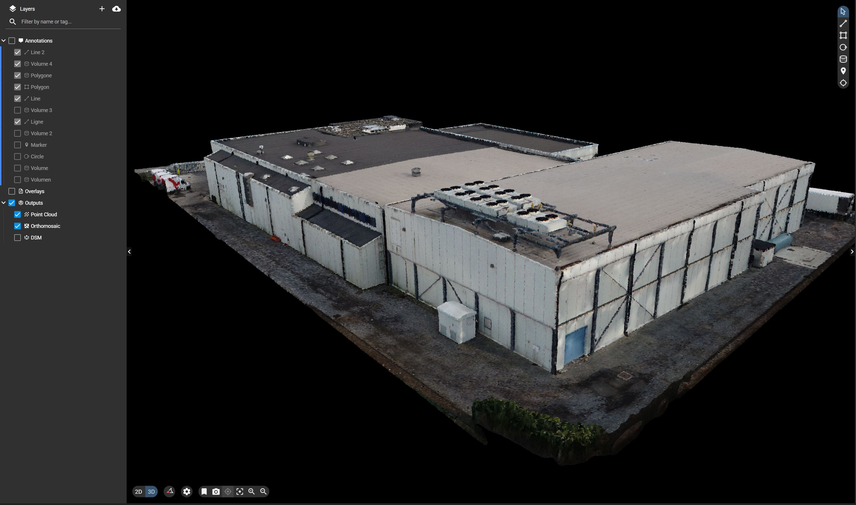
Web Viewer
An online web viewer that allows you to visualize all the data without the need for installed software
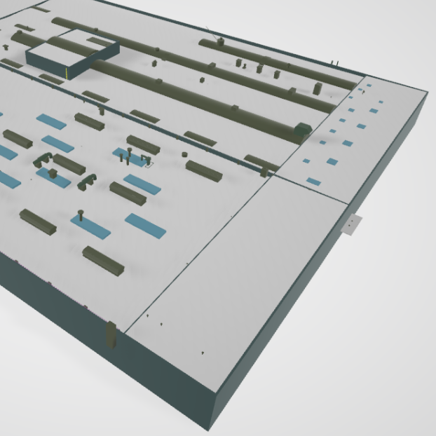
CAD Model Roof - 3D
CAD model (in .dwg format) representing your roof in the correct layers to be used by your engineering team.
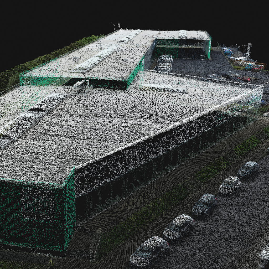
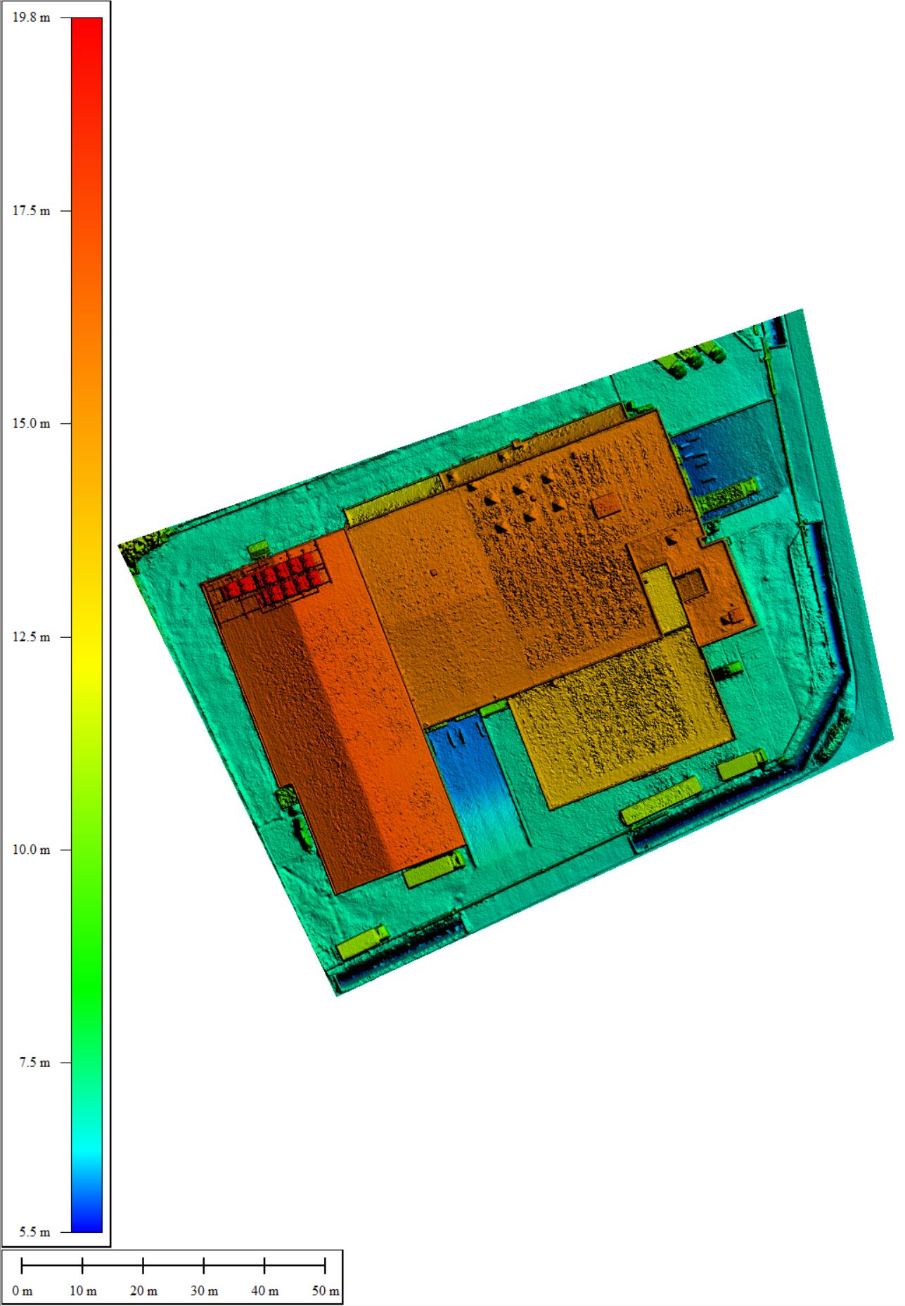
Point Cloud from Photogrammetry - 3D
The as-is situation modeled by a cloud of points, each with the original color and the XYZ coordinates of the object.
Unprocessed Pictures
The pictures with embedded coordinates by flying the drone
Digital Surface Model - 2.5D
A 2D raster where each point has the coordinates and the height of the as-is situation. Ideal to understand slopes and elevations of a terrain or roof.
Roof Mapping with CAD
A rooftop is the ideal place to install solar panels to make your house or office building CO2 neutral. Previously, it would have been necessary for a surveyor to climb on top of a roof to measure dimensions, and the exact location of obstacles (e.g., chimneys, vents, HVAC installations). The result of this would be a 2D plan of the roof, to be used as a basis for PV installation design.
Process
At Inflights, we simply send a drone operator to the location, and we take accurate pictures of the roof in a specifically designed pattern. Our photogrammetric experts then process these pictures. The results of this process are an accurate point cloud and an accurate orthomosaic.
Deliverables
Based on this point cloud and orthomosaic, our 3D designers will then create a CAD model. This CAD model is extremely detailed and will be the basis for your PV design software.
The 3D CAD model allows you to design the layout of your panels, to maximize the number of panels that will fit, considering the obstacles on the roof, and it will allow you to carry out a detailed shadow analysis to estimate the output of your design. All our models are compatible with all industry leading software, and can be delivered in .CAD, .obj .3ds or any other 3D format you require.